Political World Vector Map
Detailed vector map of every country in the world with subdivisions of areas, territories or jurisdictions recognized by governments or other organizations for administrative purposes.


Detailed vector map of every country in the world with subdivisions of areas, territories or jurisdictions recognized by governments or other organizations for administrative purposes.

World vector map in a relief design. Provides physical details, land elevations, minor islands, rivers, natural and artificial lakes and others features type. Fully vector, editable and including elevation ranges.

World vector map with borders and location of major cities. In addition, the product includes a globe in 6 positions. Map in 10 languages and organized in layers.

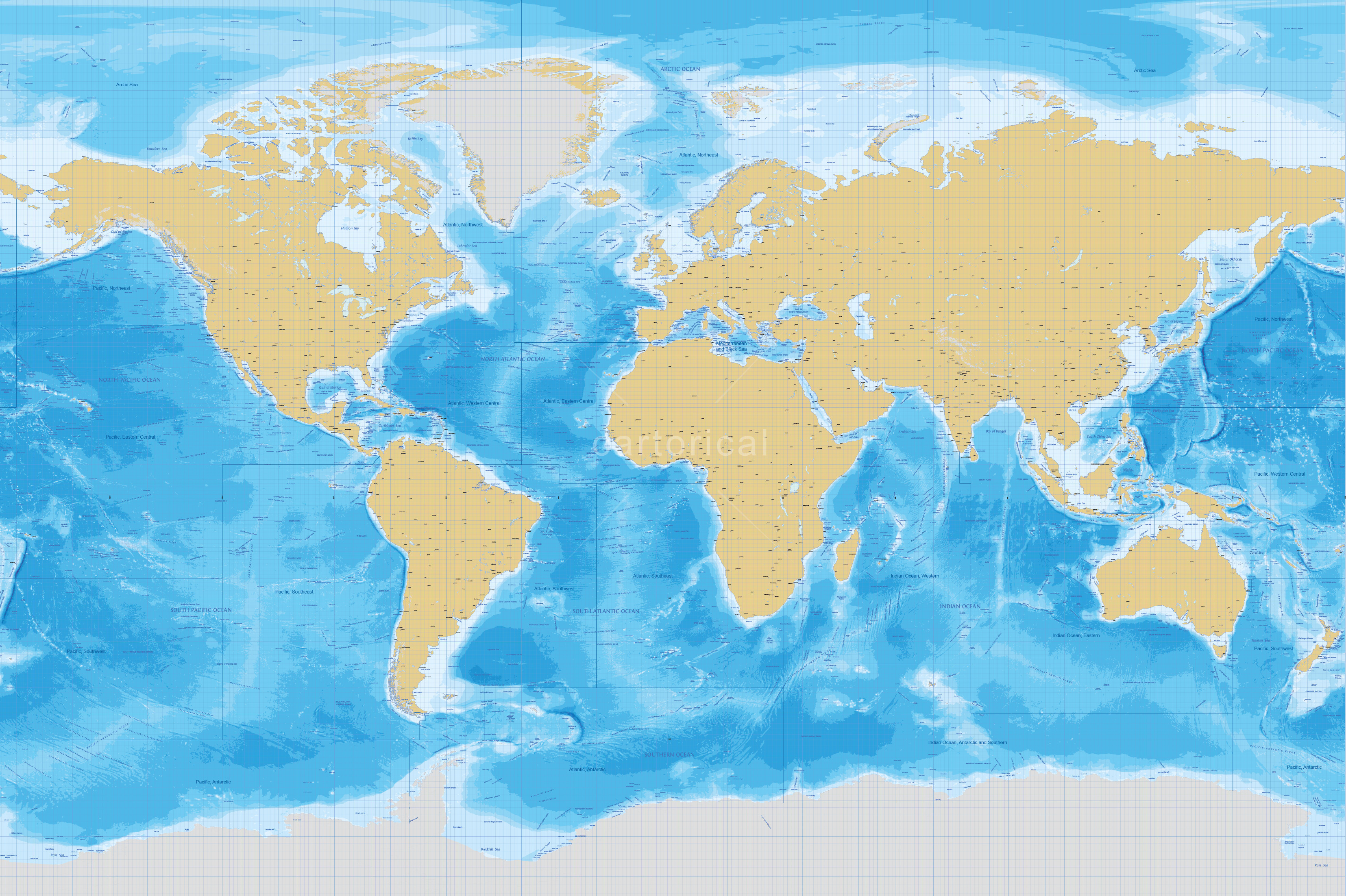
Detailed vector map about seabed. The multi-layered map provides physical details about oceans and seas with bathymetry, undersea features names, major FAO fishing areas and others thematic layers.

World political map multi-layered and scalable to whatever size you want without losing the quality. Detailed vector map of every country with borders and location of major cities. The texts are in 10 languages and organized in layers.

8 geometric world vector maps. Multi-layered, scalable an d editable. Ideal for illustrations, e-learning, journalism, business, education, web, multimedia projects, start ups and creating animated map videos.

Map Infographics specially designed for business presentations, work journalistic, educational or multimedia projects. With essential data of all countries, as well as a list with the names of the first level administrative divisions.

Political maps centered in Africa, Antarctica, Asia, Europe, North America, Oceania, South America or The Arctic. Very easy to edit and scalable: all elements are vectors and are separated into groups and layers.